
The planned burn today, weather permitting, is at the Patchewollock – North Boundary, 13km Southeast of Walpeup.
Ignition periods may extend beyond just one day as required in response to current conditions.
To find more information about this burn go to https://www.safertogether.vic.gov.au/strategic-bushfire-management-planning
Article continues after this ad
Advertisement
For the most up to date information on planned burns go to https://plannedburns.ffm.vic.gov.au/
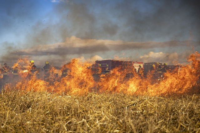
Image: https://pixabay.com/photos/fire-field-firefighting-wildfire-6706669/